

Data Product
MOLI will provide the following data.
- [Level 1] (standard product)
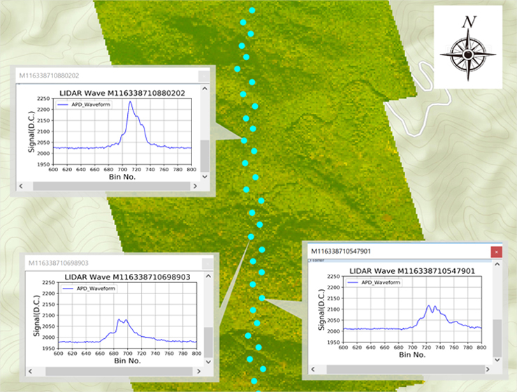
- Waveforms with coordinates of LIDAR observation points and images with coordinates from imager observations
- [Level 2] (standard product)
- Tree height and biomass at lidar observation points
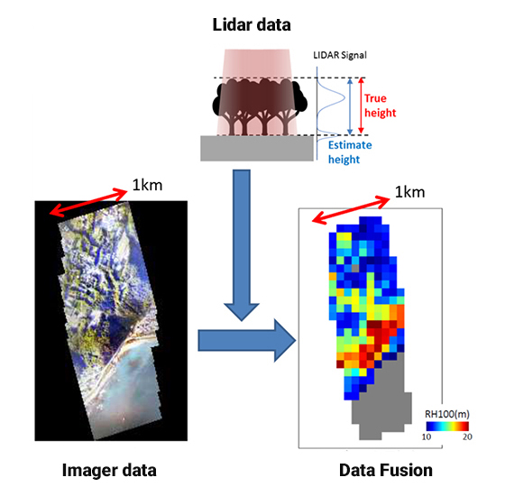
MOLI will provide the forest height and biomass map as research products using data fusion of lidar and imager data.
- [Level 3] (research product)
- Forest height and biomass map in the MOLI imager swath
- [Level 4] (research product)
- Wide area forest height and biomass map using data fusion of MOLI lidar data and other satellites imager data